If you live and work in the area around Grand Staircase/Escalante National Monument, you will hear variants of a similar question. You’ll either hear people asking “what is the Grand Staircase?” or “where is the Grand Staircase?” As the national monument is a popular tourist destination, it’s only natural to ask. So, today, I’m tackling that pair of questions for you. So, let’s dive into what the Grand Staircase is and where to find it. Along the way, we’ll tackle a few misconceptions about what the Grand Staircase is.
What is the Grand Staircase?
Let’s start with the definition question. So, what is the Grand Staircase of Utah? That’s relatively simple to answer. The Grand Staircase is a series of colorful sedimentary rock layers which form much of the surrounding landscape. A geologist named Clarence Dutton once described the area as a huge staircase. It’s comprised of many different layers of rock, but here are the basics.
- Pink Cliffs
- Grey Cliffs
- White Cliffs
- Vermilion Cliffs
- Chocolate Cliffs
Since Dutton’s day in the 1870’s, other geologists have come in and expanded upon the layers and steps of the Grand Staircase. The list is much longer. Now, we have the following layers.
- Claron Formation
- Kaiparowits Formation
- Wahweap Formation
- Straight Cliffs Formation
- Tropic Shale
- Dakota Sandstone
- Carmel Formation
- Temple Cap Formation
- Navajo Formation
- Kayenta Formation
- Moenave Formation
- Chinle Formation
- Moenkopi Formation
- Kaibab Limestone
- Toroweap Formation
- Coconino Sandstone
- Hermit Shale
- Supai Group
- Surprise Canyon Formation
- Redwall Limestone
- Temple Butte Limestone
- Muav Limestone
- Bright Angel Shale
- Tapeats Sandstone
It’s difficult to find an actual land area value for the entire region of the Grand Staircase. However, I did find that it covers about 100 miles north to south. If you couldn’t already tell, this “staircase” is indeed massive in size. Perhaps only a geologist could look at the area and call it a staircase.

Where is the Grand Staircase?
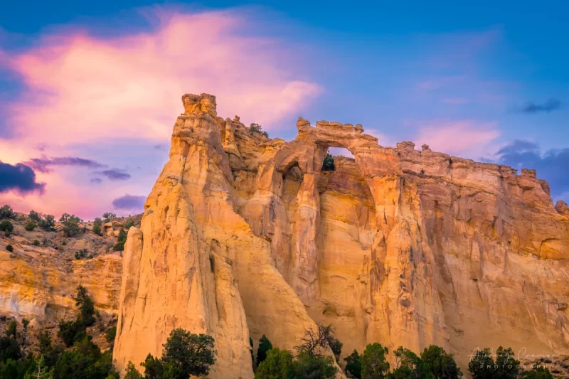
Most people ask this question assuming that the Grand Staircase is a point of interest which you can go see within Escalante National Monument. They seem to think it much like places such as Upper and Lower Calf Creek Falls, Willis Creek Slot Canyon, the Devil’s Garden, the Cosmic Ashtray, Dance Hole Rock, Zebra Slot Canyon, Grosvenor Arch, and more. Perhaps you can walk around in it for a bit or even hike. While that’s only partly true, the misconception is easy to understand. I suppose I was there once myself. However, the Grand Staircase is not a point of interest in the monument. It’s much more than that.
If you’re familiar with the area, perhaps you picked up on some familiar names in the list of rock layers. Those who know will understand where names like Wahweap, Tropic, Kayenta, Kaibab, and Bright Angel will line up with on the map. If you don’t, that’s ok too. Some quick internet research will quickly fill that knowledge gap for you.
As stated above, the Grand Staircase extends about 100 miles north to south. It starts at the bottom with the Grand Canyon at the southern-most point and ends at the northern-most point around Bryce Canyon. That’s a long ways. Elevation-wise, it also starts at the bottom of the Colorado River in the Grand Canyon at 1,200 ft and ends at the top of Cedar Breaks National Monument at over 10,000 ft.
So, if you’re hoping to visit Escalante National Monument and see the Grand Staircase, you’ll be disappointed. There are a couple places to see the “staircase” from the inside. But none of them are within the national monument.
Points of Interest on the Grand Staircase
So, as you now know, the Grand Staircase consists of a sizeable land area. There are several points of interest within the region. So, here are several highlights in no special order. Some you’ll expect while others you might not.
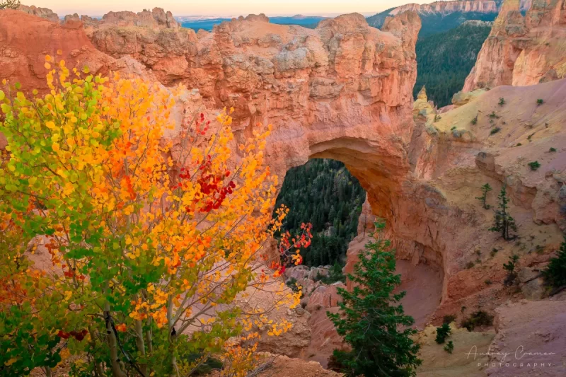
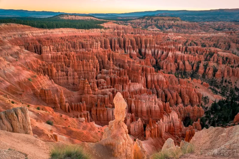
Bryce Canyon
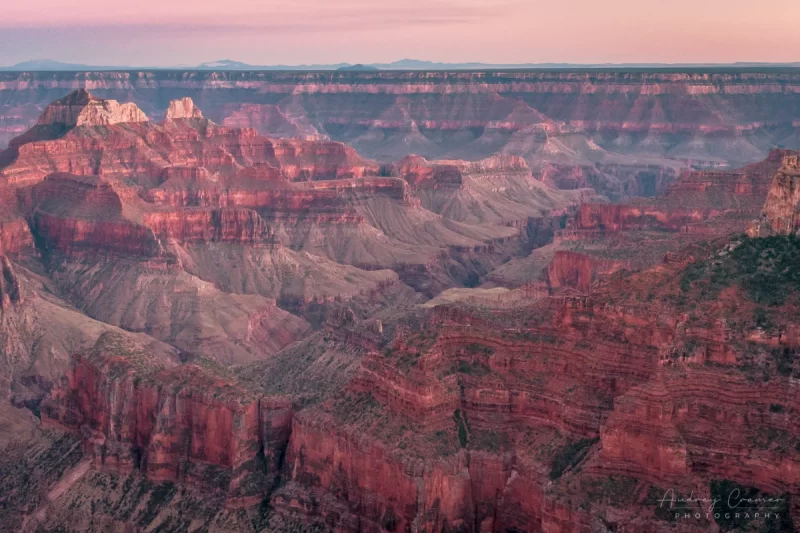
Grand Canyon
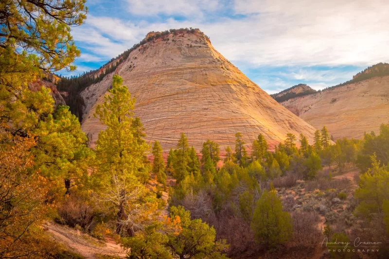
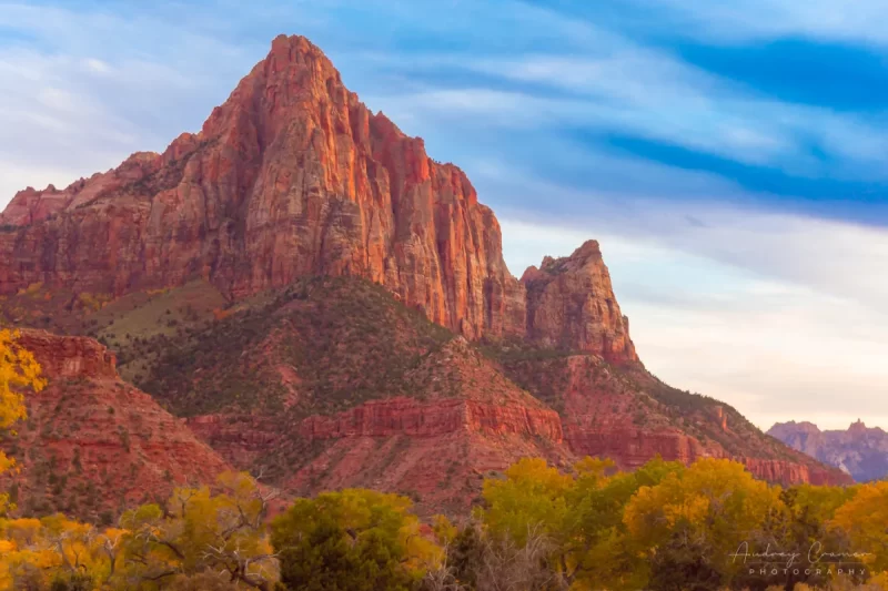
Zion National Park
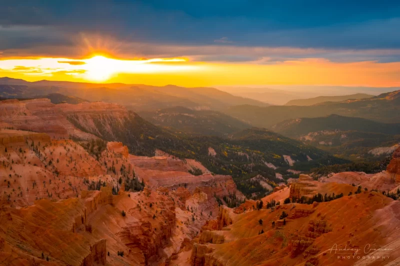
Cedar Breaks National Monument
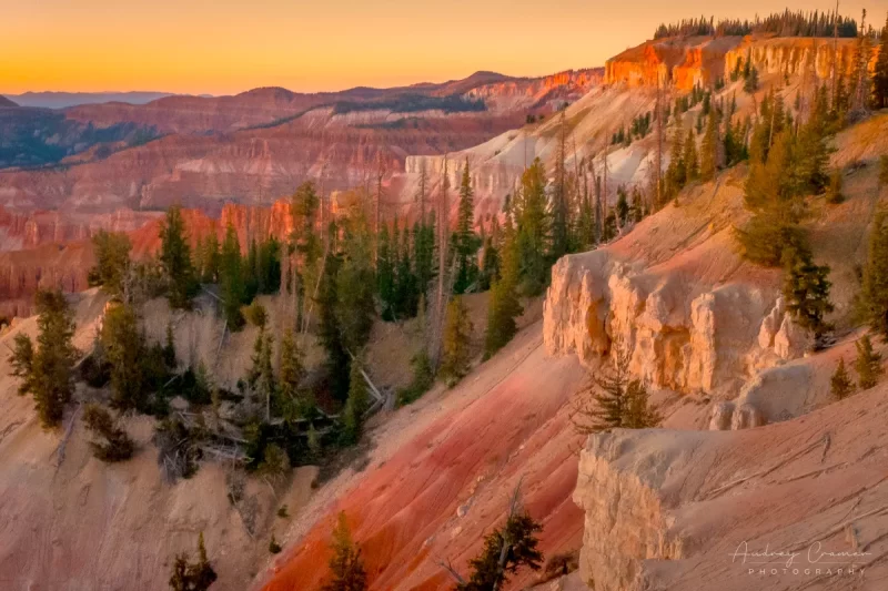
Escalante National Monument
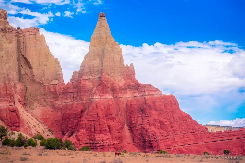
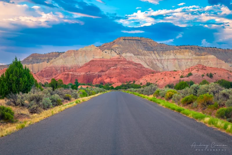
Kodachrome State Park
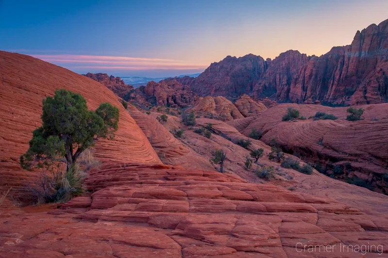
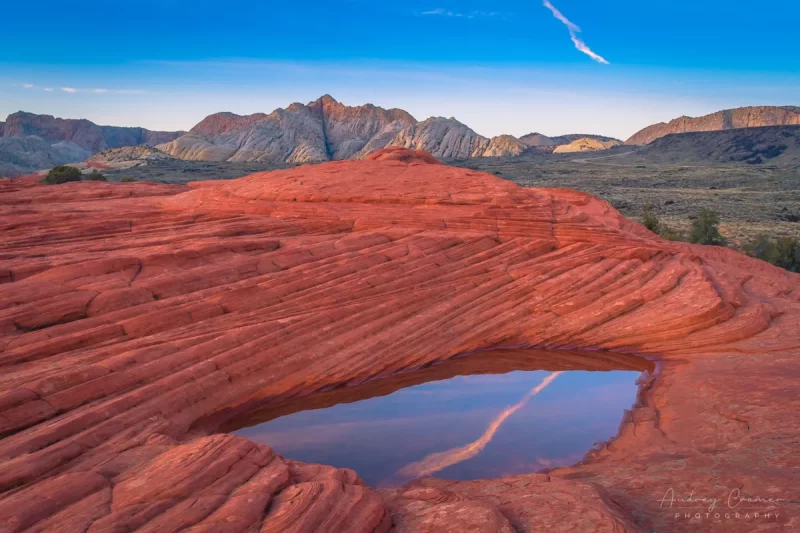
Snow Canyon State Park
Coral Pink Sand Dunes State Park
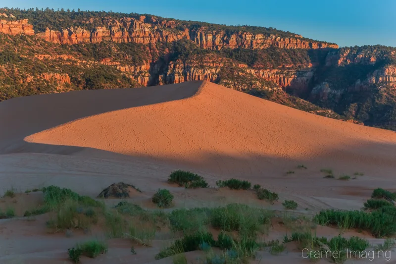
Red Canyon
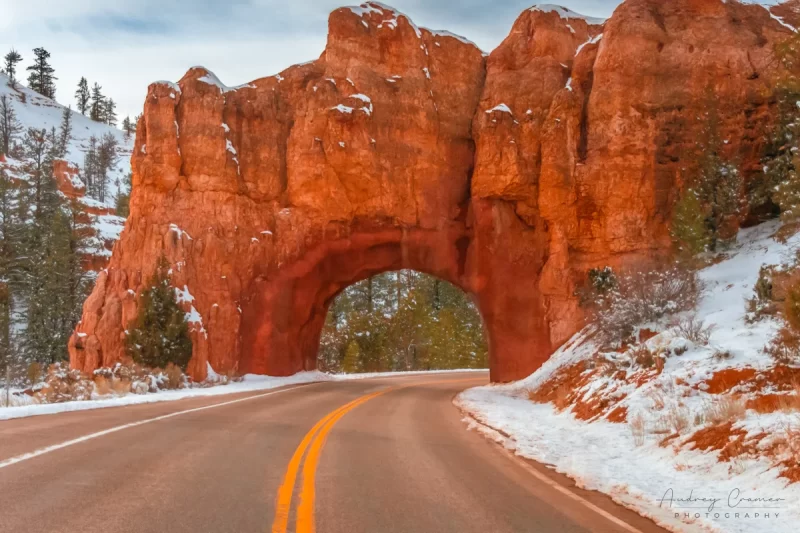
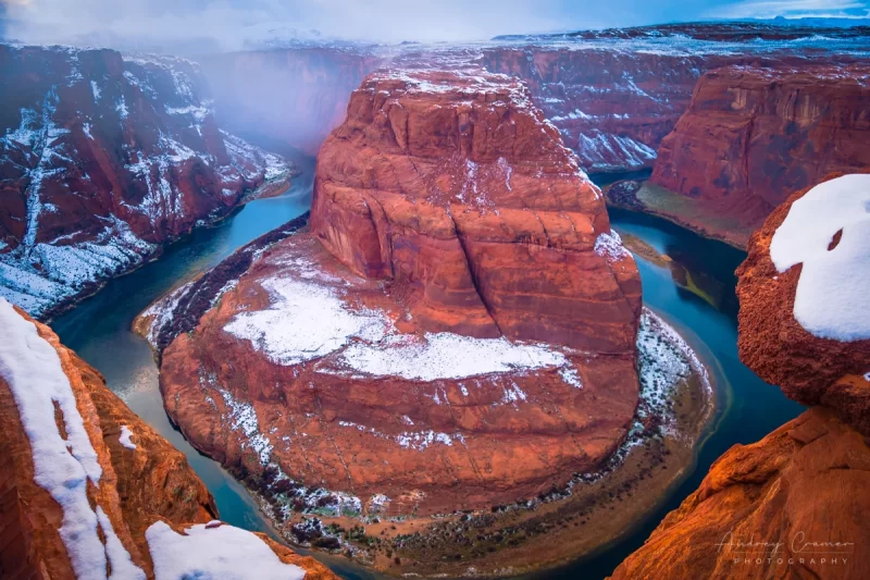
Horseshoe Bend
Can I See the Grand Staircase?
Due to the actual size of the region, you won’t be able to see the Grand Staircase in full no matter where you stand. The curvature of the Earth hides much of it from view. However, if you stand at the right spot in Arizona (LeFevre Overlook), then you can look and see many layers of the “staircase.” Also, there’s a sign which tells you where to look and see most of these above points of interest on the “staircase” itself. When I have an image, I’ll add it here.
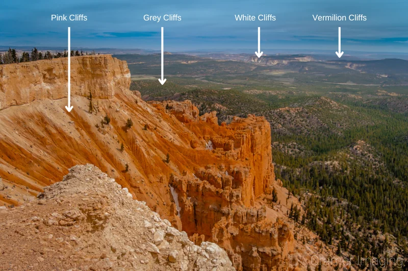
In the mean time, here’s an image which will show off several of the originally named layers of rock as seen from Bryce Canyon’s Yovimpa Point (another such exception to viewing the “staircase”). Notice that you can see much but still cannot see everything even from this exceptional viewpoint. For instance, the afore mentioned Chocolate Cliffs are hidden below what you can see standing here. The lower layers of the Grand Canyon are completely buried here as well.
Conclusion
In conclusion, the Grand Staircase of Utah is a large land area which encompasses several national parks and monuments. It also includes several state parks as well. You can tour many parts of the formation. However, it is not a single spot or a trail which you can hike to see. Properly exploring it will take days at a minimum. In fact, the “staircase” is so large that only a geologist would call it so.
Hopefully, this explanation answers your questions about the Grand Staircase. Do you have any more questions about the area? Please leave your thoughts and questions in the comments section below.

